Why guests come in summer
Hiking trails in the High Tatras
Marked trails start within reach of our door — from an hour along the creek to a full day above the tree line. The one thing to plan around is the season: the high routes are closed for part of the year.
What we recommend
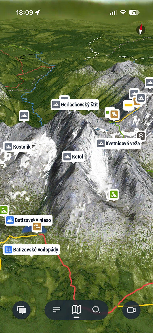
Zaži Tatry — the offline map worth installing before you set out
Two locals built it and give it away free: a 3D map of the High Tatras with 205 marked trails, 180 peaks, 70 mountain lakes and the huts, and it keeps working with the phone offline — which is the point, because signal drops in the valleys exactly where you want to check a junction.
- 205 marked trails, 407 km
- 180 peaks
- 70 mountain lakes
- Works offline
- Free, no ads
Download it on our Wi-Fi before you leave in the morning; the map packs are large and slow to fetch from a mountainside. We have no connection to the app and earn nothing from it. We point guests to it because they keep asking us which map to use.
Before you set out
Two things guests get wrong
- The high trails close in winter. Routes above the tree line in the Tatra National Park are shut from 1 November to 15 June, so a summer plan and an autumn plan are not the same walk. Check the current notice before you set out.
- Mountain Rescue is 18 300 (or 112). Save it before you go; reception is patchy in the valleys.
Trail closures, weather and cable-car operation change through the season. The Mountain Rescue link is the source of truth on the day you walk.